
Walk a Dunwoody Street
Begin with the physical place, not a guessed resident. The DeKalb GIS Hub resolves parcel shapes on cul-de-sacs, condominium tracts, and irregular lots. Click a polygon and record its parcel ID, site address, subdivision, lot or block, plat reference, owner, and postal address. Then move along the map one polygon at a time. Sequential house numbers can skip a side parcel or hide several units on one tract.
- Locate the address in county GIS and confirm the selected parcel polygon.
- Open the property roll and save the owner spelling, situs line, mailing line, sale record, and deed book and page.
- Use the deed reference in the official real-estate index, then follow the prior title party when the chain matters.
- Search the city permit system by site address for work, inspections, and named project contacts.
- Use a lawful voter extract or a confirmed historic street section only as added evidence.
This is the core Dunwoody street directory workflow: address to parcel, parcel to owner record, owner record to deed, and then other sources for context. It separates ownership from occupancy at every turn.
Dunwoody Street Parcels in GIS
DeKalb's parcel layer carries more than a dot on a map. Its fields include parcel identification, building or unit, site address, subdivision or condo, owners, postal address, values, plat book and page, frontage, lot, zoning, acreage, and geometry. The service supports spatial and distance queries, though the public viewer may show simpler controls. Pan and click when the goal is a visual street walk.
The county parcel mapping and land-records page explains what mapping staff can supply.
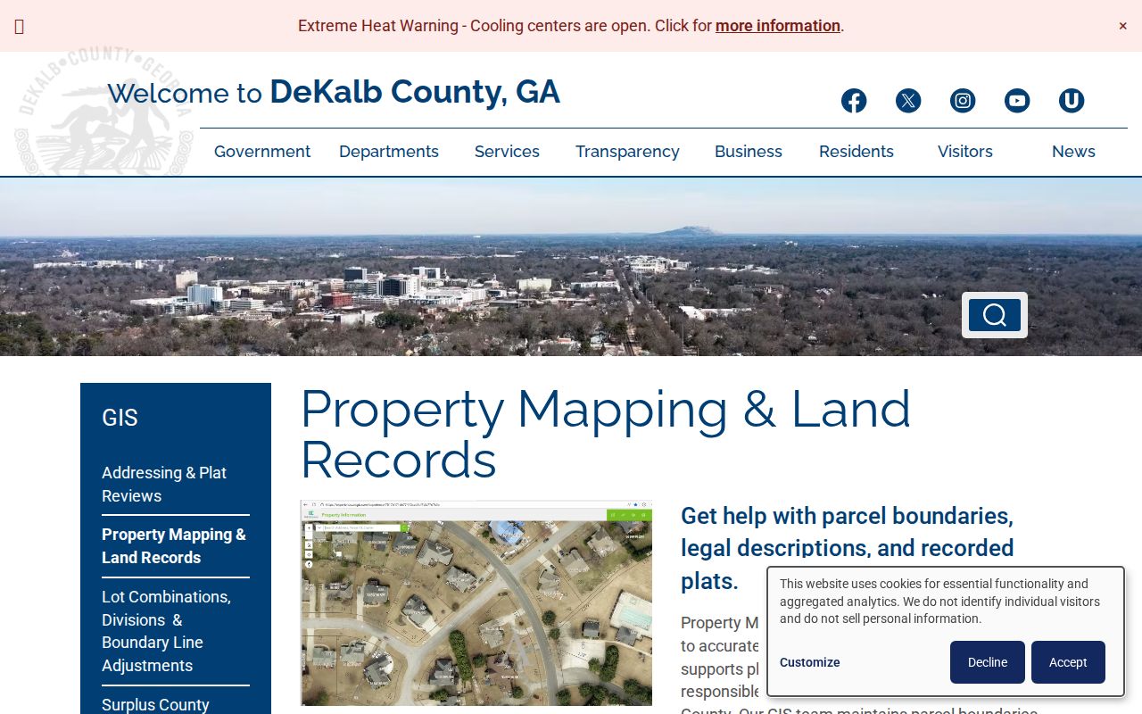
The county page is a sound fallback when an app link changes. It also draws the line between mapping help and recorded deeds.
| Map tool | Input | Street use | Caution |
|---|---|---|---|
| Address search | Street text | Zoom to situs | Confirm polygon |
| Parcel ID | County ID | Open exact lot | Spaces may matter |
| Pan and zoom | Map motion | Walk the block | Numbers may skip |
| Identify | Parcel click | Read attributes | Owner is not occupant |
| Layers | Panel | Compare parcels and zoning | Layers can change |
Note: GIS shows mapped tax geography, but it cannot settle an encroachment or replace a boundary survey.
Read Dunwoody Addresses Correctly
A parcel can carry three address concepts. The situs address is the physical site. The postal address is where owner mail goes. The deed's legal description identifies the land through a subdivision, lot, block, plat, land lot, or metes-and-bounds text. A live official-layer example in the research placed a Dunwoody situs on Ashford Dunwoody Road while owner mail went to a different street with an Atlanta postal city. That difference is normal and must stay labeled.
- Parcel
- A mapped tax unit with its own county identifier; it may contain one building, many units, or vacant land.
- Situs address
- The address assigned to the physical site, distinct from an owner's mailing address.
- Plat
- A recorded drawing that shows lots, blocks, dimensions, and subdivision boundaries.
- Criss-cross directory
- A historic directory arranged by street or address so the place can lead to a listed name.
Use the legal description when a road name or number has changed. It is a more stable bridge than a postal label for older DeKalb research.
Dunwoody's Official Address Layer
The city's SmartMap uses an official address database with city limits, voting districts, parcels, zoning, and local places. Its address layer includes street parts, unit, city, state, ZIP, subdivision, common name, status, coordinates, and parcel ID. That lets a street directory search verify whether an address belongs inside Dunwoody even when the mailing city says Atlanta or Sandy Springs.
The Dunwoody official address layer exposes those source fields.
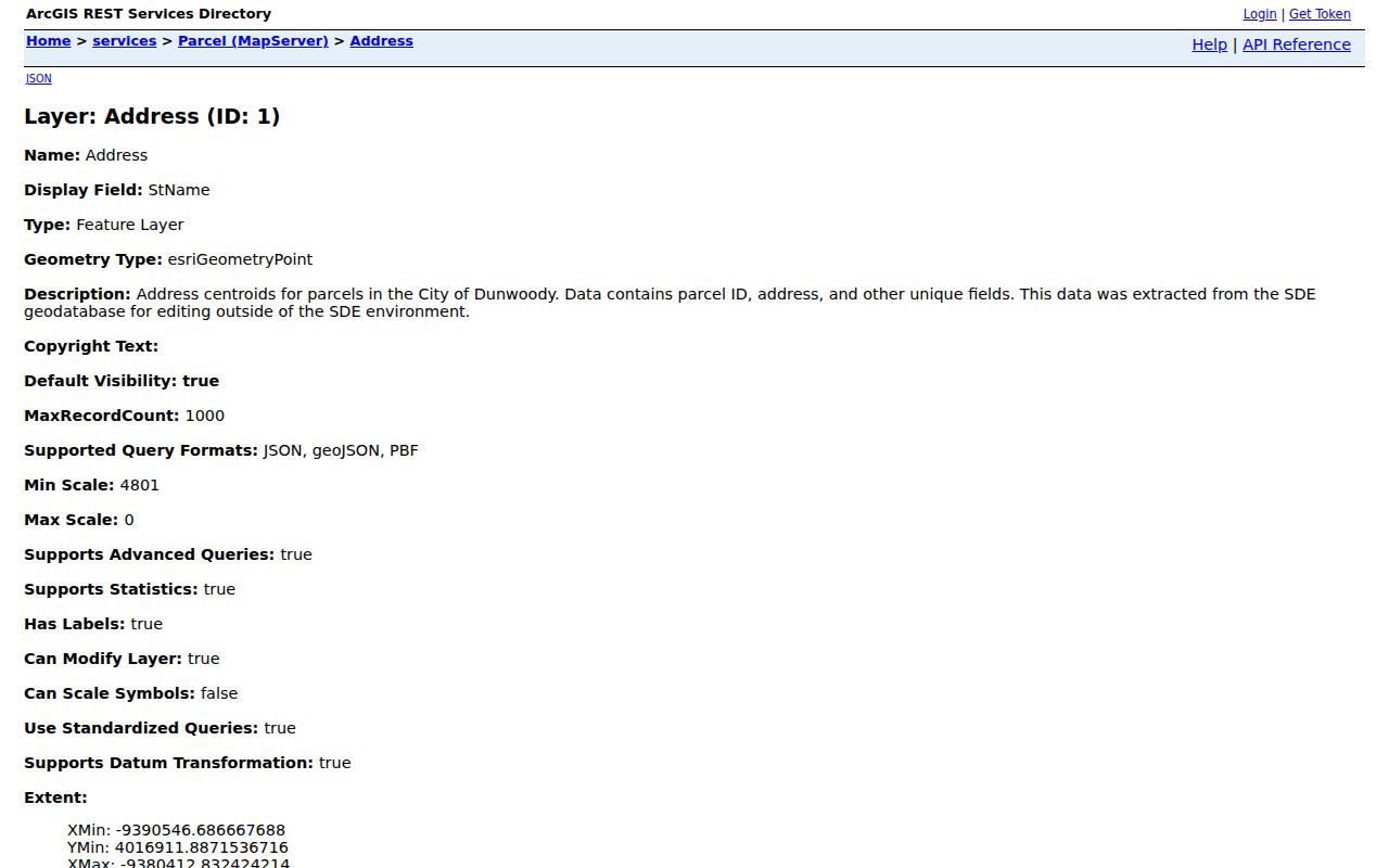
The service view is better evidence for city jurisdiction than a broad postal-city label, but its address points still do not identify a household.
Dunwoody Records by Street
No single roll supplies a complete roster. A careful Dunwoody street directory keeps each source in its lane and records the access date. The table shows the strongest address-keyed systems and the fallback when a web search is not enough.
| Record | Keeper | Street evidence | Access |
|---|---|---|---|
| Parcel profile | DeKalb Property Appraisal | Owner, situs, mailing, structure, sales | Portal or office |
| GIS parcel | DeKalb and Dunwoody GIS | Boundary, parcel ID, subdivision, zoning | Map or mapping staff |
| Deed and plat | Superior Court Clerk | Title parties, legal description, book/page | GSCCCA, public room, mail |
| Permit or code case | Dunwoody Community Development | Site, project, contacts, status | CentralSquare or records request |
| Voter file | DeKalb Elections or Georgia SOS | Lawfully released address rows | Paid extract; protected fields removed |
| Historic directory | DCPL or History Center | Listed names in covered years | Scans, print, microfilm, staff |
The parcel number binds the map, appraisal profile, plat, permit, and deed references more reliably than a name. If the modern search stops, take that number and the latest book and page to the correct office.
Dunwoody Property Search Fields
The DeKalb Property Appraisal Search accepts parcel ID, address, or owner name. A profile can expose assessments, values, appeals, land, structures, sales, permits, sketches, photographs, maps, and exemptions. Search by partial street where allowed, then verify each result against GIS before building a by-street list.
| Mode | Type | Required | Best use |
|---|---|---|---|
| Parcel ID | Text | No | Exact mapped lot |
| Address | Text | No | Street number and name |
| Owner name | Text | No | Individual or entity variants |
| Advanced or sales | Navigation | No | Sales and added filters |
| Map search | Navigation | No | Spatial parcel entry |
A homestead exemption may support owner occupancy, but timing and eligibility matter. Its absence does not prove that an owner lives elsewhere, and a matching mailing line does not disclose every person at the site.
Dunwoody Parcels Lead to Deeds
Copy the latest deed book and page from the appraisal record or ask GIS staff to identify it from an address or parcel ID. GIS does not supply the deed. The GSCCCA Real Estate Index can search DeKalb by name, book and page, instrument number, property mode, party role, instrument type, and recording dates. Some functions or images require an account.
If the remote index fails, the Clerk's public room has computer searching at 556 North McDonough Street in Decatur. Regular copies cost $1 per page; certified copies cost $2.50 for the first page and $0.50 for each added page; plats cost $2 per page. Mail requests need the book type and page with approved payment. DeKalb books date from 1842 after an earlier fire, but the first extant deed book starts in 1846. Those facts are not one online cutoff.
The official DeKalb parcel data service supplies a structured view of the handoff.
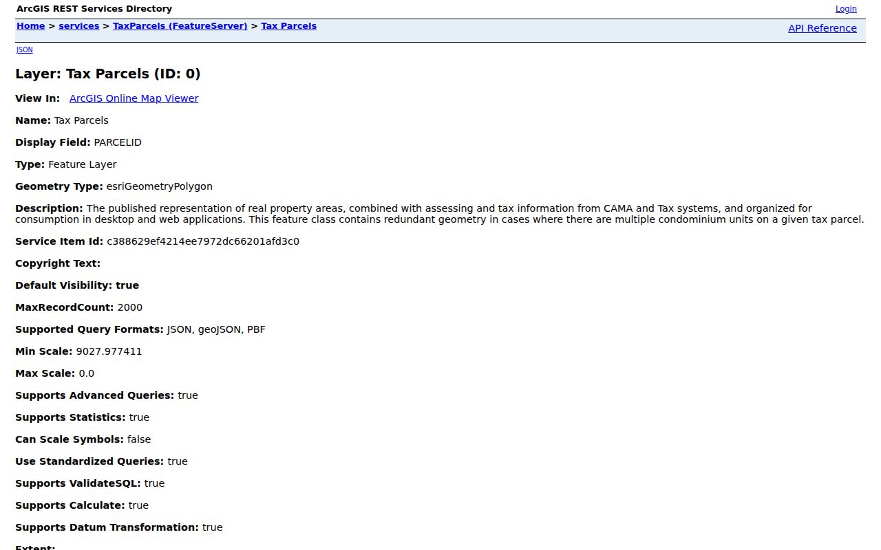
Its parcel and plat fields show why the county identifier makes a sound bridge to the clerk's deed system.
Useful shortcut. Email county mapping staff with an address or parcel ID when the latest deed or plat book and page is unclear.
Dunwoody Permits Along a Street
Dunwoody's CentralSquare permit search is the most direct city address tool. Choose SITE_ADDR, select Contains, and enter street text to search beyond one number. Other modes include permit number, issued date, permit type, parcel, and owner name. Results run twenty per page and can be printed or exported. Tabs may show permit, site, contacts, fees, inspections, chronology, conditions, and reviews.
The city moved permits, licenses, and code enforcement from iWorQ to CentralSquare on August 4, 2025. A legacy record may need staff transfer or verification. Contact Community Development through the city permit route or send a narrow open-records request with address, date range, type, and any case number. Permit contacts may be an owner, builder, designer, or applicant. They show a role in work at the parcel, not proof of residence.
Dunwoody Voters Are Not Browsable
Georgia My Voter Page authenticates one voter with first initial, last name, DeKalb County, and date of birth. It is not a public street browser. A lawful street or municipal extract must come from DeKalb Elections or the Secretary of State process. The file can contain name, administrative address, status, districts, and participation history, while phone, birth date, Social Security data, and driver-license numbers are excluded.
Protected voters and Safe at Home participants must remain hidden. An inactive registration does not prove a move, and participation history never reveals ballot choices. Treat each row as dated administrative evidence. A street directory cannot use it to claim every adult, child, roommate, or other person in a home.
Note: My Voter Page is an authenticated self-lookup, so never try to defeat its identity checks for a street search.
Dunwoody Streets Before Cityhood
Dunwoody incorporated in 2008. Earlier permits, zoning, police, and local records may remain DeKalb County series. Historical searches also face metro address renumberings in 1892 and 1926. A person who vanishes from one number may not have moved. Match the name to a cross street, occupation, spouse, subdivision, legal description, or census place before drawing a conclusion.
Decatur Library holds Atlanta-area city directories in print and microfilm from 1928, with gaps confirmed at the Reference Desk. Earlier digitized Atlanta volumes cover 1859/60 through 1922. For the collections and their geographic limits, use the Dunwoody city directory research rather than treating an Atlanta postal entry as modern city residence.
Dunwoody's Deed Search at Scale
The Superior Court Clerk reports processing more than 204,500 title documents and 641,500 pages in a year, plus about 800 virtual deed books. That scale explains why exact keys matter. A broad surname can return many unrelated filings, while a parcel-linked book and page reaches the relevant image far faster.
Use grantor for the person or entity conveying an interest and grantee for the party receiving it. Search both roles when tracing title. Check the legal description and parcel reference, not just the street line, because deed indexing follows land and named parties rather than a current postal label.
Limits of Dunwoody Street Records
A tax owner can live elsewhere. A grantee can hold an investment. A permit contact may be a contractor. Public parcel systems do not list all renters, roommates, children, guests, or household members. DMV addresses are restricted by federal law, utility customer data is not a substitute directory, and protected voter addresses cannot be rebuilt through cross-checks.
Use the street directory for family history, deed research, scam checks, civic questions, or the history of a block. Label every role and date. When the goal narrows to one named person, the Dunwoody resident lookup has the better evidence workflow.
Lawful use. Dunwoody address records are for lawful personal research. Never use a map, roll, or filing to stalk, harass, intimidate, or defeat an address-protection program.